
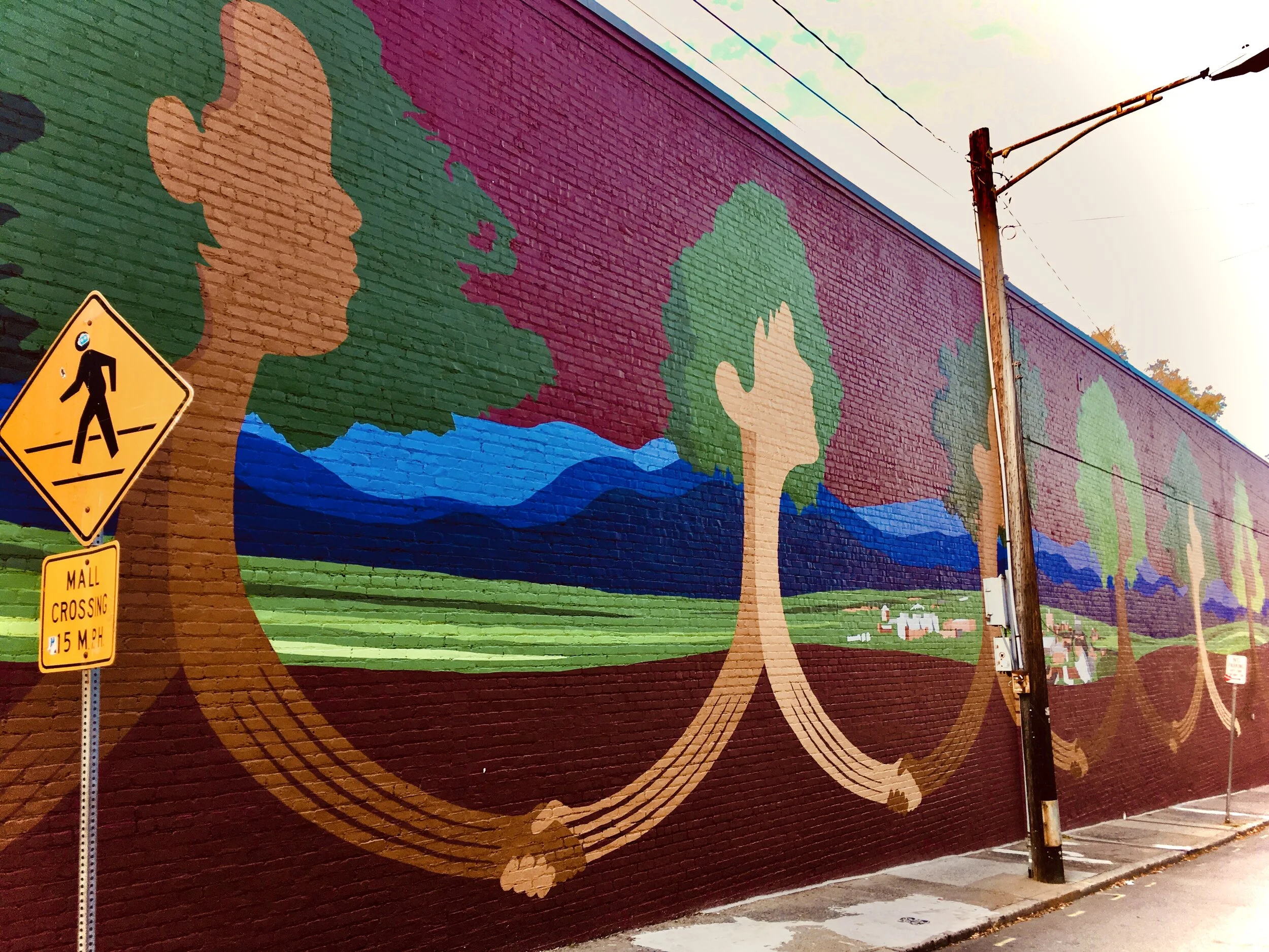
Together We Grow. Designed By Jake Van Yahres and Painted by Christy Baker & Charlottesville High School Students. Photo by JD Brown.
Lessons from the Pandemic: Equitable Urban Nature (PART 2)
By JD Brown & Meredith Hoos
February 11, 2021
This is the second in a two-part article in which we explore how projects and programs arising in response to the pandemic might contribute to a more equitable future for nature in cities. Part one discussed the history and evidence of inequitable nature and the added urgency the pandemic has contributed to address these inequities.
Understanding a Way Forward
Since the start of the pandemic, cities have been focused on creating better access to existing green space. Research has supported a new level of commitment to urban nature as a critical source of resilience, health and wellbeing (Samuelson et al. 2020). But to what extent are these efforts considering and planning for an equitable distribution of nature? Have new efforts to increase the abundance and accessibility of nature lessened the divide in the distribution and accessibility of nature in cities?
Mapping Inequities and Prioritizing Investment
Mapping current conditions is a starting point for cities to understand where investment in nature is the most needed and will have the greatest impact. Zip code is a primary social determinant of health (Wilson et al. 2020). Nature is a positive factor for health and understanding where access to abundant nature is lacking is critical in addressing health inequities (Lockhart et al. 2021). We once again highlight the research under way in several cities to map variations in extreme heat across the city and to overlap heat island temperature maps with tree canopy percentage and historic racist planning practices because this research illustrates so well the many dynamics that influence current conditions in cities (Hoffman, Shandas and Pendleton 2020).
Cities that have measures in place to understand inequities in access to and the distribution of nature are in a better place at the outset to begin to understand where improvement is needed. This past year the City of Richmond, Virginia, adopted the Richmond 300 comprehensive plan that includes a goal to “ensure that all residents have equitable access to nature and a healthy community.” Richmond, a partner city in the Biophilic Cities Network, is one of the cities that has been studied as part of the research mapping inequities in urban heat. Richmond 300 specifically recognizes this spatial research and sets an objective to not only increase tree canopy percentage citywide but also to seek to achieve a 30% tree canopy in all neighborhoods, prioritizing areas with a high heat vulnerability index rating and low existing tree canopy coverage (Richmond 300, Objective 17.2).
Community-Led Nature Design
Spatial mapping has become a valuable tool for understanding the inequitable distribution of nature in cities. What the heat mapping research tells us is that there are inequities in the urban nature landscape that directly correlate to historic planning practices, the mapping does not demonstrate the complete path for moving forward; spatial mapping does not speak for the priorities and needs of residents.
Understanding and creating access in terms of a sense of inclusion and safety is a prerequisite to equitable nature. Kim Moore Bailey, the CEO of Youth Outside speaking at the Phipps 2020 Nature of Place Symposium, identifies that the presence of green space alone is not an indicator of equitable access. The sense that green space is a place for you requires engendering a connection to nature throughout life. As the Urban Systems Lab pandemic survey of the perception and use of urban green spaces in NYC reveals, cities must pursue inclusive planning to address differing resident perceptions of accessibility and safety (Lopez et al. 2020).
Planning for equity and cultural inclusion requires counteracting the profound and deep inequities in the distribution of nature in cities. This requires both a consideration of who is defining what shared spaces should look like and intentionally designing spaces that invite diverse, co-extensive use of these spaces. Building on the recognition that greater social contact leads to greater acceptance and understanding, cities should strive for a policy of inclusive public spaces that is robust and nuanced enough to encourage people to use these as “spaces of engagement” (Agyeman 2017).
In this respect, the fast pace of the response to the pandemic may not provide complete, equitable answers for long term solutions. Getting planning right takes time. Meaningful engagement is a process of building trust and dialogue. The efforts of Building Bridges Across the River (BBAR) to elevate the consideration of community impact in the design of the 11th Street Bridge Park in Washington, DC, and the creation of a comprehensive Equitable Development Plan to support a more just result for the project is a case study in what such an effort entails. The park project was originally envisioned in 2014 and the first several years of the process have emphasized a focus on equity before any development of the project has begun.
Addressing inequities cannot be accomplished without hearing from the very people that solutions are seeking to benefit. In October 2020, the NYC City Council Parks and Recreation Committee held a hearing on “Improving the Equity of Green Space throughout the City in Light of the COVID Epidemic” where “dozens of non-profit partners, advocacy groups, labor unions, community gardeners, park workers, and committed residents and stewards spoke out on the need for an equitable open space system, now more than ever.” (Campbell et al. 2020). This is a place to start and community engagement should continue in earnest now to plan and design for equitable nature for future challenges.

From “Slow Streets” to “Shared Streets”
The most prevalent response from cities to meet demands for socially distanced open space is to repurpose roads and public right-of-ways. Since the start of COVID-19, cities across the U.S. and the globe have been testing out methods to broaden multimodal accessibility: from additional bike lanes to street closures, and short-term tactical urbanism to permanent infrastructure changes. What these programs share is a recognition of the lack of capacity that current systems have to resiliently respond to the need for public space in pandemic conditions.
These “slow streets” initiatives have come to reflect the complexity of a fast paced response to the conditions of the pandemic and the need for community engagement. Accelerated responses to the pandemic have often come at the expense of public process that has been identified as necessary to build community support. The result is that well-intentioned interventions have encountered resistance that is reflective of a continuing history of distrust and continuing need to better understand the impacts of new planning initiatives on a spectrum of communities. The experience of Oakland, California has become a case study. The city’s slow streets program received initial praise as it was at the forefront of substantial efforts to dedicate broad segments of public right-of-ways for new community access. Based on its own survey results that indicted the initiative was not benefiting a representative population of residents and broad criticism for a lack of community engagement, the city has sought to work closely with community organizations to improve the initiative to include residents and respond to their priority needs with smaller scale interventions.
Other cities have had better results by building in the opportunity for community input despite the accelerated pace of change. Laura Bliss from CityLab has highlighted the Shared Streets program in Durham, North Carolina. In partnership with local non-profit partners, the city began with community engagement as the first step in creating the program. This partnership predated the pandemic and was born from the city’s own struggles and evolution in how it plans and designs inclusive spaces and reflects that planning for equity requires long term relationships. From its own past experiences, the city has developed an Equitable Community Engagement Blueprint to guide community planning, which has provided a foundation for the community process that is taking place now in the time of the pandemic.
Part 2 Resources:
Badger, Emily (July 20, 2020). The Pandemic Has Pushed Aside City Planning Rules. But to Whose Benefit? The New York Times.
Bailey, Kim Moore (2020). The Imperative of Racial Equity in the Nature Connection Movement [video presentation]. Phipps Conservatory and Botanical Gardens. 2020 Nature of Place Symposium.
Beatley, Tim (Jan. 2018). Rethinking How We Do Green Urbanism. Planning Magazine.
Bliss, Laura (Jan. 6, 2021). ‘Slow Streets’ Disrupted City Planning. What Comes Next? CityLab.
Building Bridges Across the River (2018). 11th Street Bridge Park Equitable Development Plan.
Campbell, L., Svendsen, E., Landau, L., Johnson, M., and Plitt, S. (Dec. 20, 2020). Quarantine Fatigue and the Power of Activating Public Lands as Social Infrastructure. The Nature of Cities.
Chan, Ching (May 2020). Bell St Protected Bike Lane Fact Sheet. Seattle Department of Transportation.
City of Richmond, Virginia (2020). Richmond 300: A Guide for Growth.
City of Durham. Durham Shared Streets Pilot Project.
City of Durham Neighborhood Improvement Services. Equitable Community Engagement Blueprint.
Hoffman, J., Shandas, V. and Pendleton, N. (2020). The Effects of Historical Housing Policies on Resident Exposure to Intra-Urban Heat: A Study of 108 US Urban Areas. Climate. 8(12). doi:10.3390/cli8010012.
Intercultural and Culturally-Inclusive Biophilic Cities: An Interview with Julian Agyeman. JD Brown (ed.). Biophilic Cities Journal. 1(2): 82-89.
Lockhart, S., Pressman, A., & Smits, K. A. (2021). Equitable healthcare requires equitable access to nature. Parks Stewardship Forum. 37(1). doi: 10.5070/P537151712
Lopez, B.; Kennedy, C.; McPhearson, T. (2020). Parks are Critical Urban Infrastructure: Perception and Use of Urban Green Spaces in NYC During COVID-19. Preprints. 2020080620. doi: 10.20944/preprints202008.0620.v1.
National Association of City Transportation Officials (NACTO). Slow Streets Strategy.
Open Streets Mobility Responses to COVID-19. COVID Mobility Works.
Rojas, D. and Morales, E. (May 2020). Tactical Urbanism for COVID-19.
Samuelsson, K., Barthel, S., Colding, J., Macassa, G., & Giusti, M. (2020). Urban nature as a source of resilience during social distancing amidst the coronavirus pandemic. doi: 10.31219/osf.io/3wx5a.
The New York City Council Legislative Research Center. Hearing on Improving Equity of Green Space throughout the City in Light of the COVID Epidemic [video]. Committee on Parks and Recreation. Oct. 22, 2020.
Thomas, Destiny (June 8, 2020). ‘Safe Streets’ Are Not Safe for Black Lives. CityLab.
Wilson, Sacoby M. (Moderator) with Bullard, Richard, Patterson, Jacqui, and Thomas, Stephen B. (Participants) (June 2020). Roundtable on the Pandemics of Racism, Environmental Injustice, and COVID-19 in America. Environmental Justice. 13(3):56-64. doi: 10.1089/env.2020.0019.
Youth Outside. https://youthoutside.org.